
Explore Fossil Localities
Discover fossil sites, historic localities and their geology across the London Basin and beyond.
Browse by region
Explore the map
Select a county, choose an approved Locality marker, then explore its reviewed site features.
Loading regional map… Browse the locality directory instead.
Region markers and outlines are browsing guides. Individual site pins require approved public positions.
Discover localities
Open a locality to explore its geological and fossil record.
More filters
19 localities
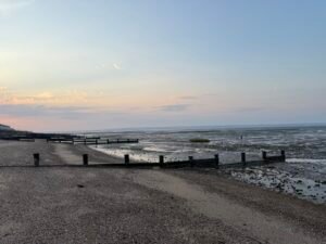
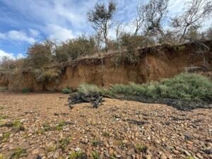
Burnham-on-Crouch (Butts Cliff)
London Clay Formation · Ypresian · Foreshore • Cliff • River · Open / Public Access

Guildford Park Brickworks
Reading Formation · Thanetian, Ypresian · Inland Exposure • Historic Site · No Public Access

Guildford–Godalming Bypass (Onslow Cuttings)
Lambeth Group · Palaeogene · Construction Exposure • Historic Site · No Public Access
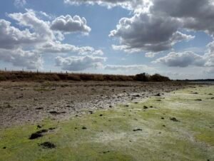
Herne Bay (Beltinge / Bishopstone)
Beltinge Fish Bed, Harwich Formation, London Clay Formation, Oldhaven Member, Reculver Sand Member, Thanet Formation, Upnor Formation · Thanetian, Ypresian · Foreshore • Cliff · Open / Public Access
Isle of Sheppey (Warden – Minster)
London Clay Formation · Ypresian · Foreshore • Cliff · Open / Public Access
Lower Upnor (Medway Foreshore)
London Clay Formation · Ypresian · Foreshore • Cliff • River · Open / Public Access
Reculver
Reculver Sand Member, Thanet Formation · Thanetian · Foreshore • Cliff · Open / Public Access
Swale Creekside Site
London Clay Formation · Ypresian · Foreshore • Cliff • River · Permission Required
Walton-on-the-Naze
Red Crag Formation, Walton Member, Wrabness Member · Gelasian, Piacenzian, Ypresian · Foreshore • Cliff · Open / Public Access
No localities match these filters. Try another search or clear the filters.